Commoners Antique Maps Project (select maps to shopping bag)
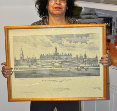
A series of antique maps of Ottawa and area have been scanned on a high resolution scanner from publications in the City of Ottawa archives. There are 13 prints in this series, which have been digitally and manually edited to restore them. They are individually printed by hand on an Epson Giclée printer on an art parchment paper, ready for framing. Each of the prints is 17 inches x 23 inches, and the images are approximately 25% larger than the originals.
| Image | Name | # | Price | Click to add to shopping bag |
|---|---|---|---|---|
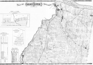 | Gloucester | 2 | $15 | |
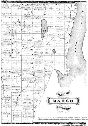 | March Township | 3 | $15 | |
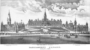 | Parliament Buildings | 4 | $15 | |
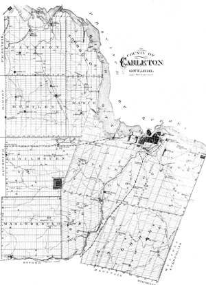 | County of Carleton | 5 | $15 | |
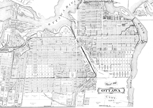 | City of Ottawa | 6 | $15 | |
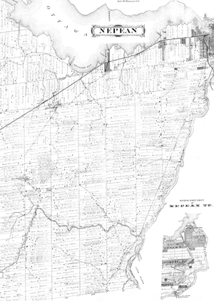 | Nepean Township, Carleton | 7 | $15 | |
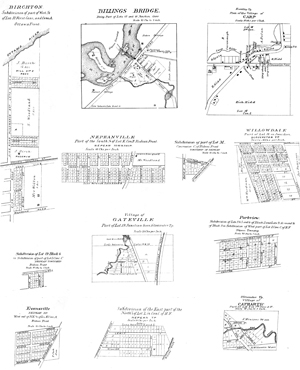 | Billings Bridge, Carp, Birchton, Nepeanville, Willowdale, Gateville, Parkview, Evansville, Cathartic | 8 | $15 | |
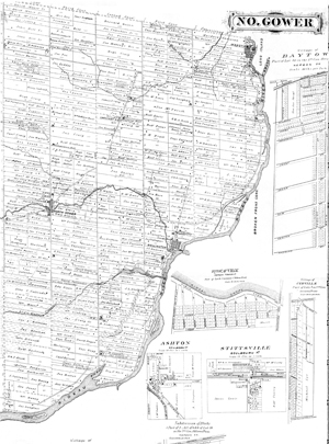 | North Gower, Janeville, Ashton, Long Island | 9 | $15 | |
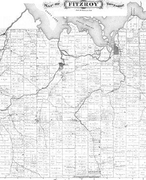 | Fitzroy, McLeansville, Bells Corners. Fitzroy Harbour | 10 | $15 | |
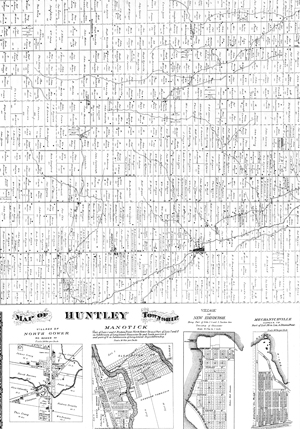 | Huntley Township, Manotick, New Edinburgh, Mechanicsville | 11 | $15 | |
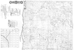 | Marlborough, Richmond | 12 | $15 | |
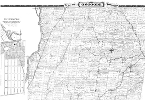 | Osgoode, Bayswater | 13 | $15 | |
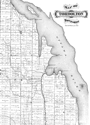 | Torbolton Township | 14 | $15 |